
Natural Full Color Sandstone

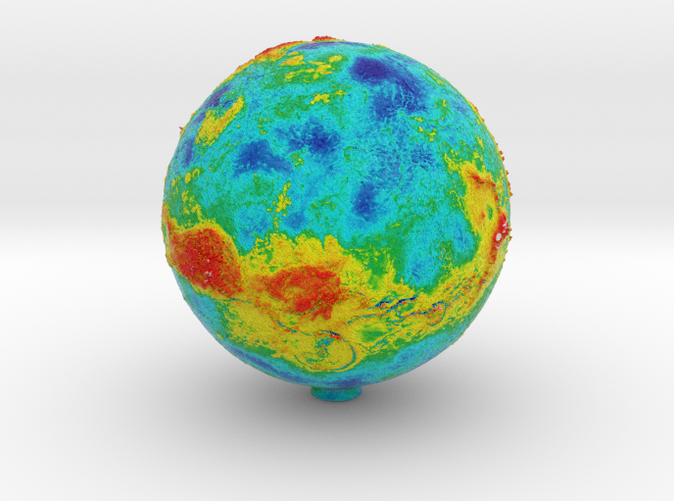
Topographic Venus
Made by
Print With Shapeways
 Choose Your Material
 Choose your color and finish
$58.43
Have a question about this product?
contact the designerYou must be logged in and verified to contact the designer.
Product Description
A false colour topographic Venus globe with 3d surface relief detail.
70mm Version
90mm Version
120mm Version
200mm Version
Based on data from the 1989 Magellan mission this "false colour" colouration is a representation of global elevation differences mapped to a gradient. From white for the highest peaks, to red and yellow, to blue and purple for the lowest plains and crater basins.
Details
What's in the box:
topoVenus70
Dimensions:
Success Rate:
First To try.
What's this?
Rating:
Mature audiences only.
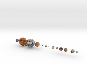
More From This Shop
$71.06
$24.90
$194.24
$258.42